Cottonwood Pass Colorado
Everything You Need to Know (Written by Locals)
Cottonwood Pass - The Complete Mountain Pass Guide
A Travel Guide to Cottonwood Pass Colorado - From Local Experts
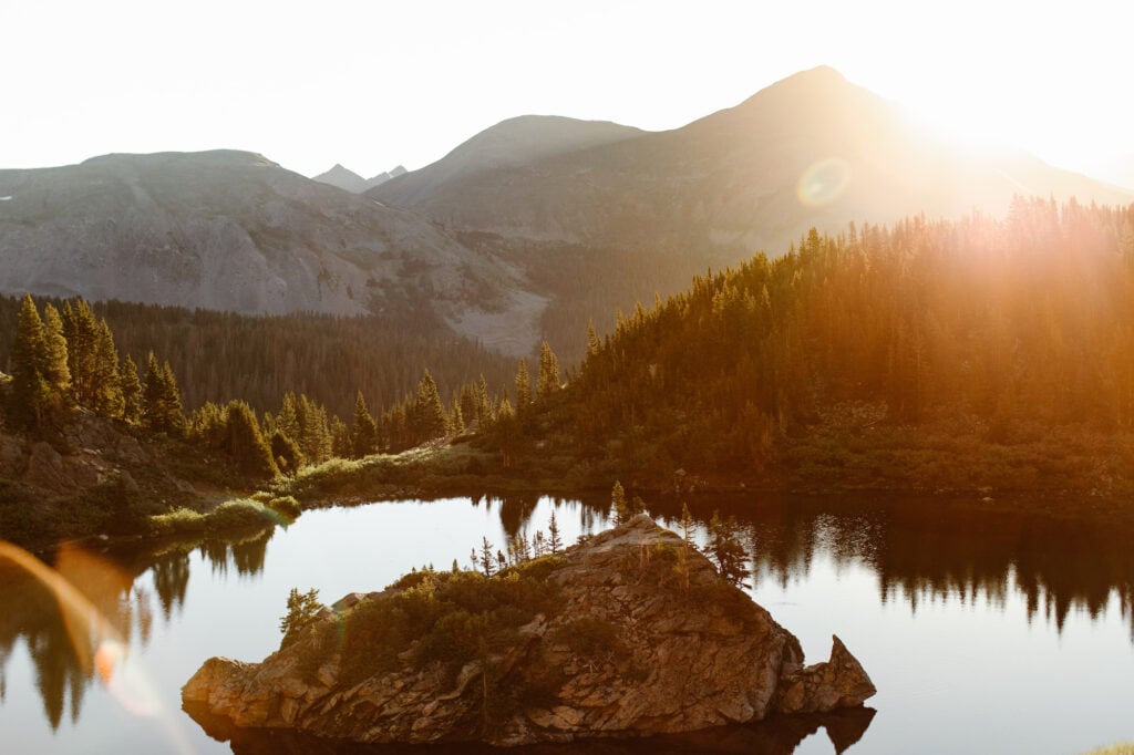
Planning on driving Cottonwood Pass Colorado? First off, as Colorado locals, we have to say: you’ve picked one of the prettiest, most incredible mountain passes in the state. We hike and camp along this pass all the time, and it’s one of our all-time favorite drives in the state.
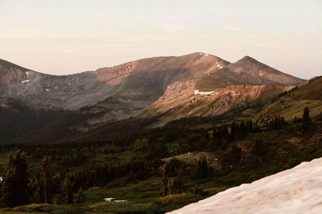
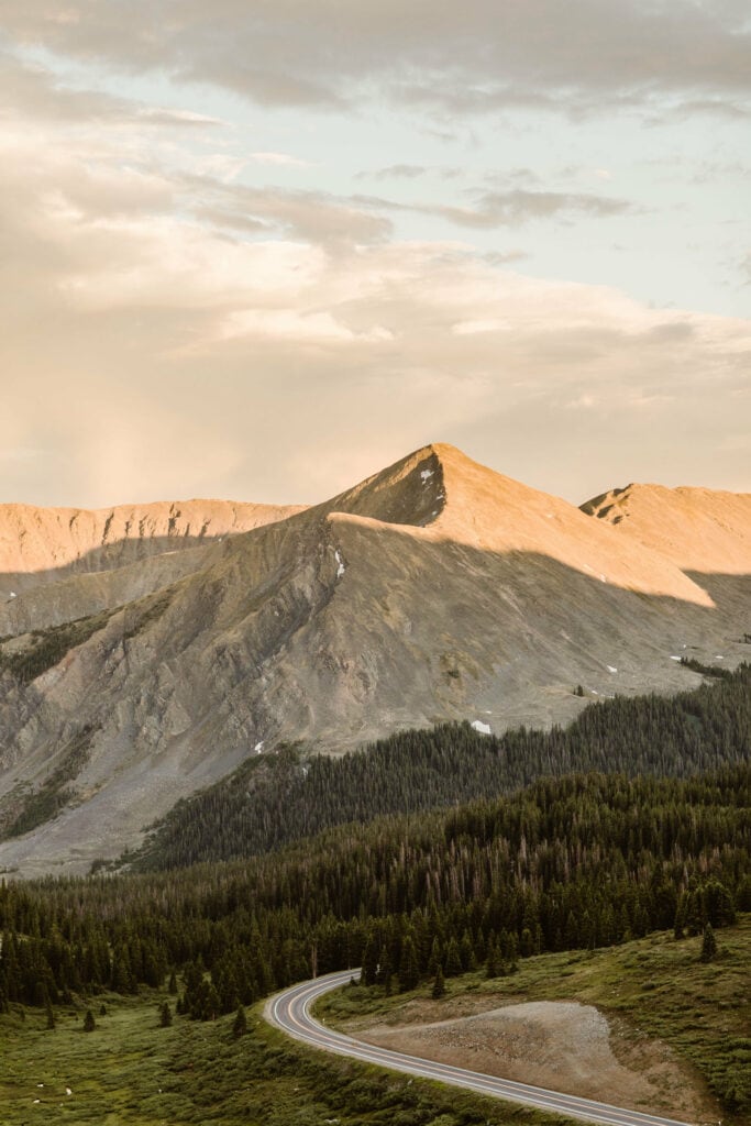
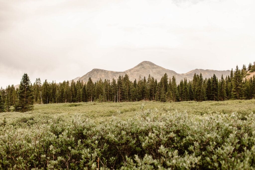
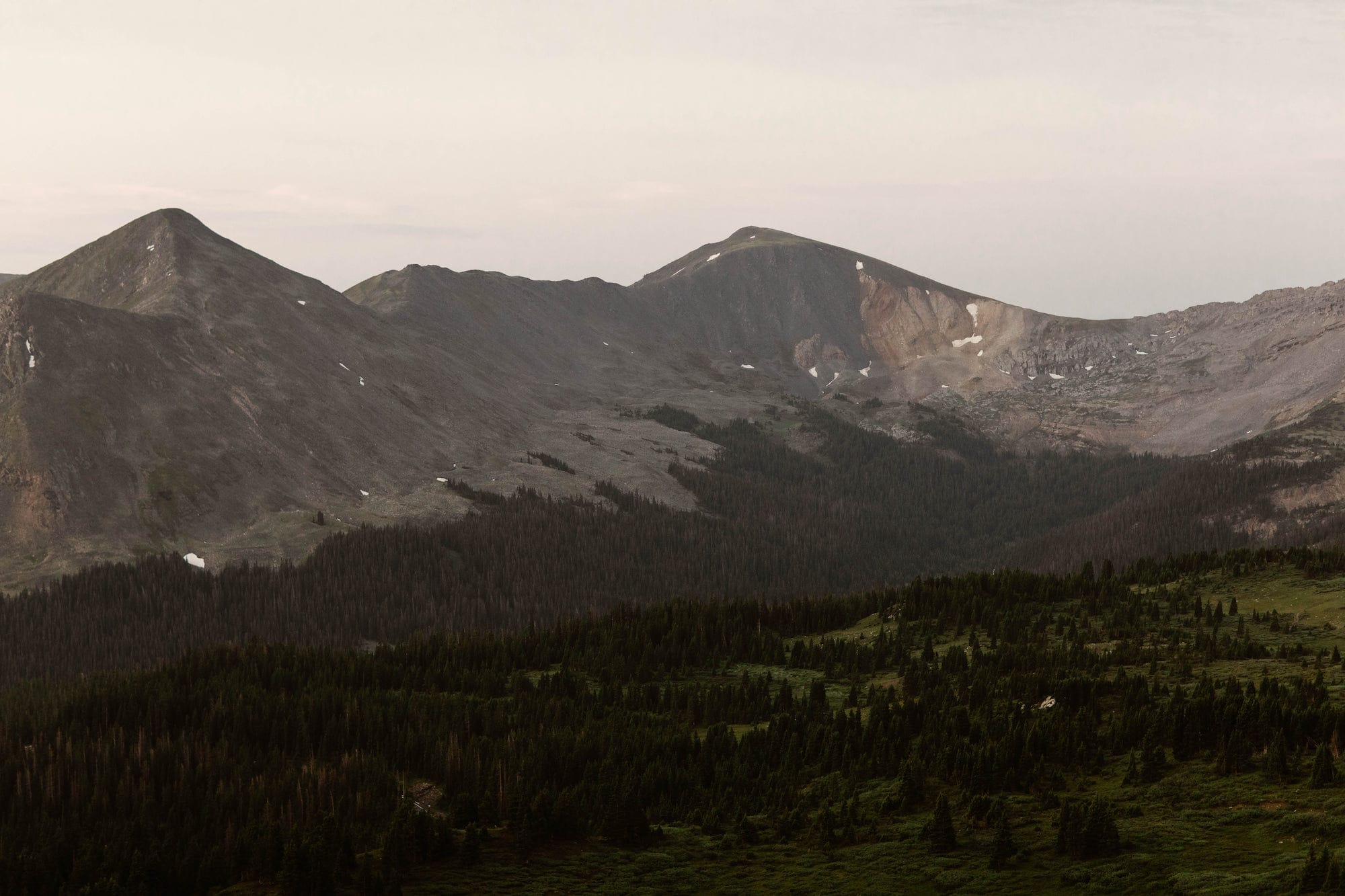
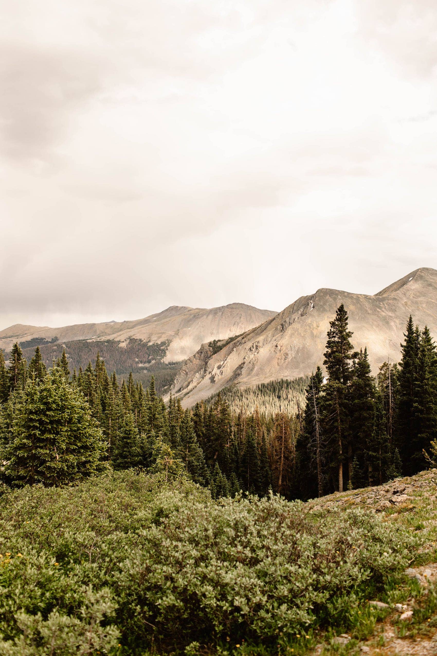
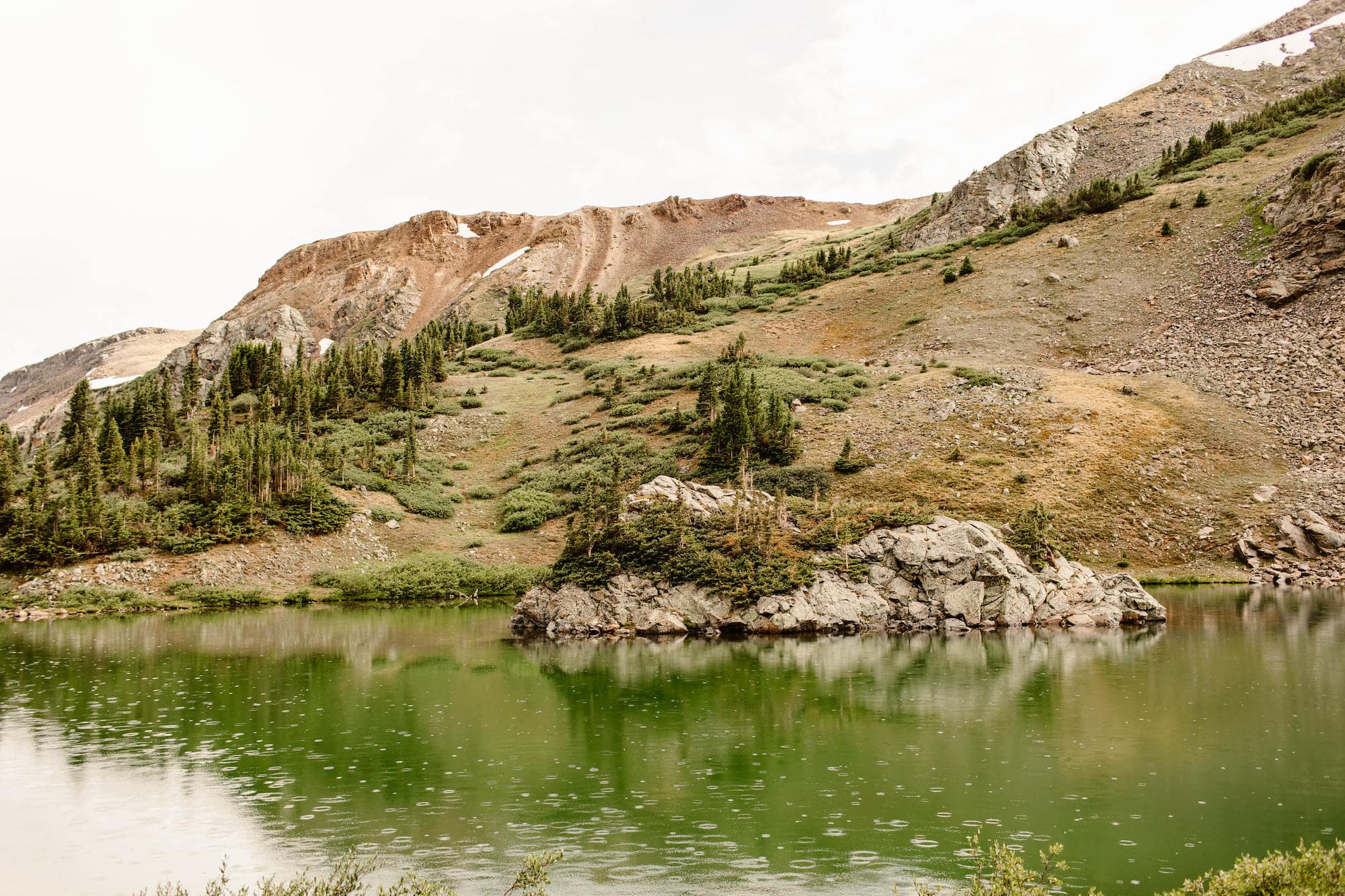
Cottonwood Pass is a 56.8 mile stretch of paved, winding mountain road connecting Buena Vista and Almont, Colorado. It summits at the continental divide (at 12,126 ft elevation) and features some of Colorado’s best hiking trails, campsites, and mountain vistas.
And after countless adventures on Cottonwood Pass, we’ve crafted this guide with all the information you need to know to plan your own Colorado adventure (with plenty of pictures of its epic views, of course!).
We’ve included everything, including the best times to travel this route, when the road is open, and what types of hiking and camping adventures you can find on the pass.
Important Note: There is another Cottonwood Pass in Colorado (near Gypsum). This is not a guide to that pass.
Disclosure: We’ve included lodging and gear recommendations in this guide to Cottonwood Pass Colorado. If you choose to book or buy through our links, we may earn a commission, at no cost to you. Shopping through these links helps support our small Colorado business. All recommendations are crafted with love and expertise, from platforms we use and trust for our own adventures.
Where is Cottonwood Pass in Colorado?
Directions to Cottonwood Pass Colorado
Cottonwood Pass is a mountain pass located between the towns of Buena Vista and Almont, in south-central Colorado. The summit of Cottonwood will take you to the continental divide.
Cottonwood straddles two different counties: Chaffee on the eastern side and Gunnison on the western side. We recommend starting your Cottonwood Pass journey on the Buena Vista, Colorado (Chaffee County) side.
To do this, you’ll take West Main Street westward out of Buena Vista, which will eventually turn into CO 306. Once you’re at the summit and heading toward the Almont side of Cottonwood Pass, Colorado 306 becomes 209.
You’ll take 209 until you get to a T in the road at Taylor Park Reservoir. At the T, you’ll make a left onto 742. This will take you further westbound, around the reservoir, and will eventually let you out at CO 135 (which is the road that connects Gunnison to Crested Butte, Colorado).
If you want to go to Crested Butte, you’ll hang a right here and head northbound.
- GPS Coordinates (Top of the Pass/Continental Divide): 38.827800, -106.409007
- Nearest Towns: Buena Vista (to the east) and Almont (to the west)
- Cottonwood Pass Length: 56.8 miles
- Cottonwood Pass Elevation (Highest Point): 12,126 ft
- Elevation Gain: 5,265 ft
- Cell Service: none/minimal (occasional pockets closer to Buena Vista, but this pass is a dead zone, so make sure to download offline maps)
When Does Cottonwood Pass Open?
And When Does Cottonwood Pass Close?
Opening and closing dates are weather-dependent, but in general Cottonwood Pass Colorado typically opens in late May.
Usually, late May and early June will still be somewhat inaccessible for hikes above tree line. By that we mean you’ll come across lots of snowfields still, which can impact whether you’re able to hike to your destination.
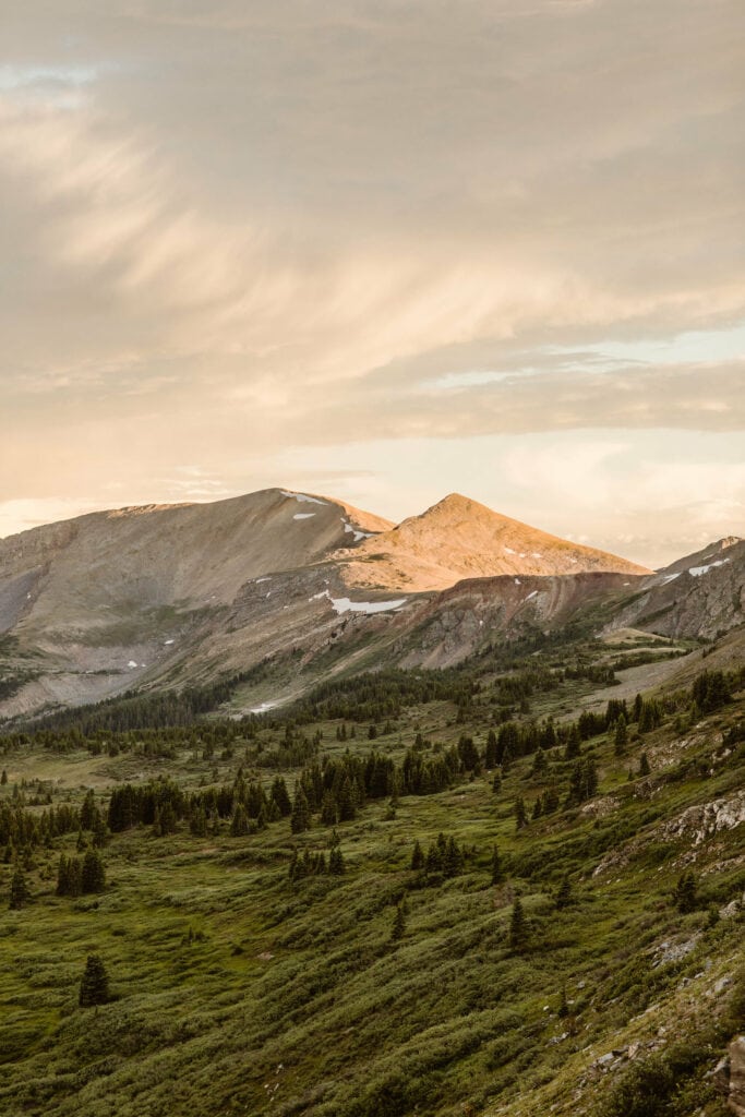
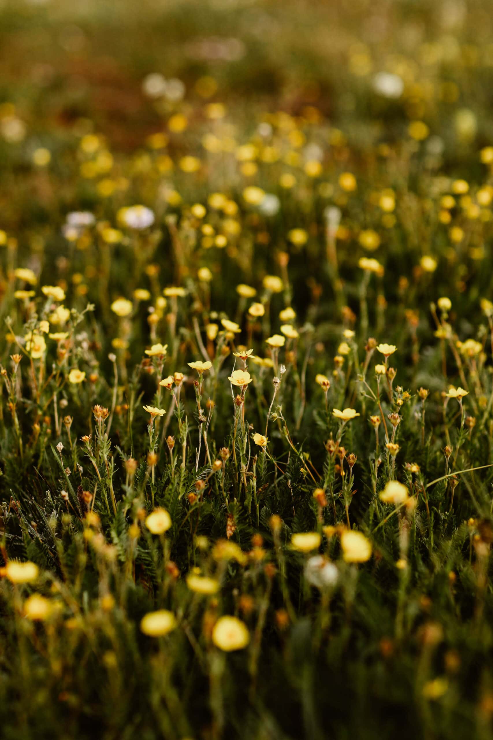
We visit Cottonwood Pass all the time, and generally once you hit mid-July things become way more accessible if you’re hiking above tree line. Plus, July is the most lush, green, and wildflower-rich time of year for the pass, so it’s our #1 pick for time of year.
Cottonwood Pass typically closes around the beginning of November, but again this will be dependent on winter weather conditions for the year. Early winter storms can cause this date to be pushed forward.
Leave No Trace Note: With a summit over 12,000 ft in elevation, Cottonwood Pass in Colorado is home to several trails that venture above the tree line into a zone referred to as the “alpine tundra”. When hiking in the tundra, please stay on the trail at all times.
The spongy, grass-like ground above tree line is extraordinarily delicate and can take decades to hundreds of years to grow back when walked on.
Why We Love This Pass
What Makes Cottonwood Pass Colorado So Special?
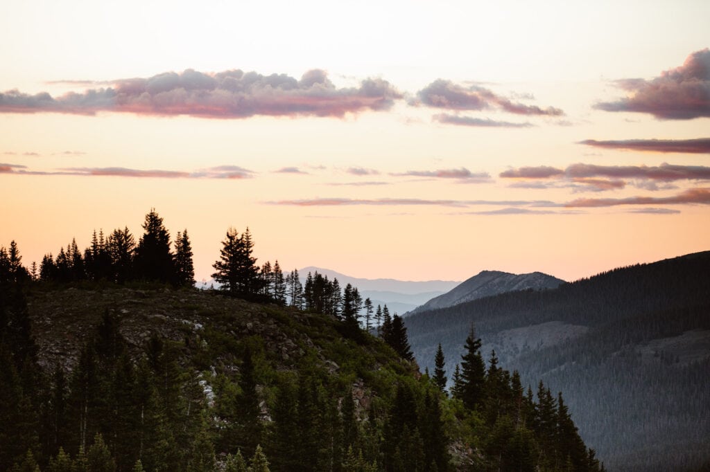
As local Coloradans, we’re constantly spending our time exploring our state and driving its epic mountain passes. And to be honest, Cottonwood Pass is at the very top of our list.
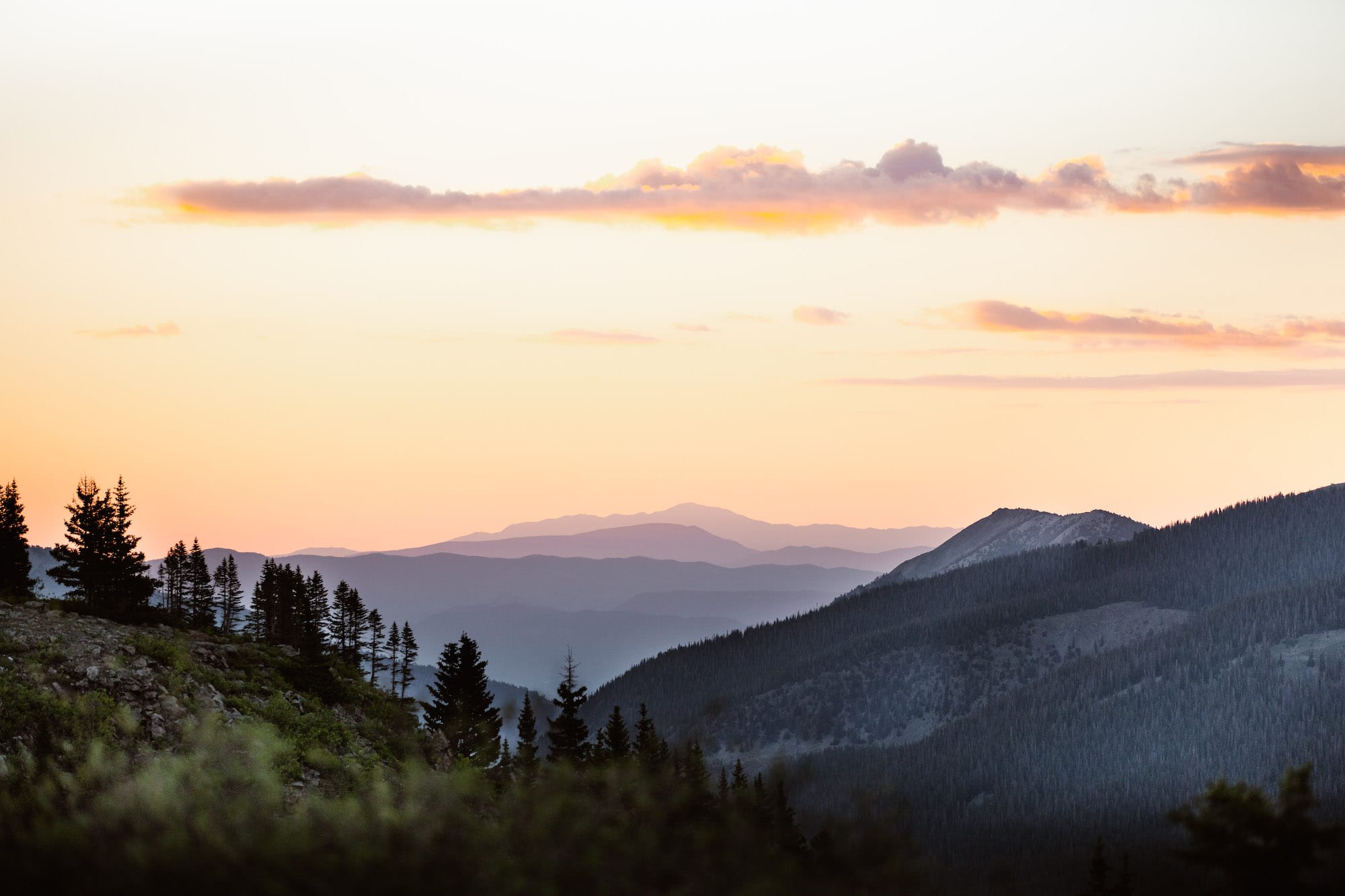
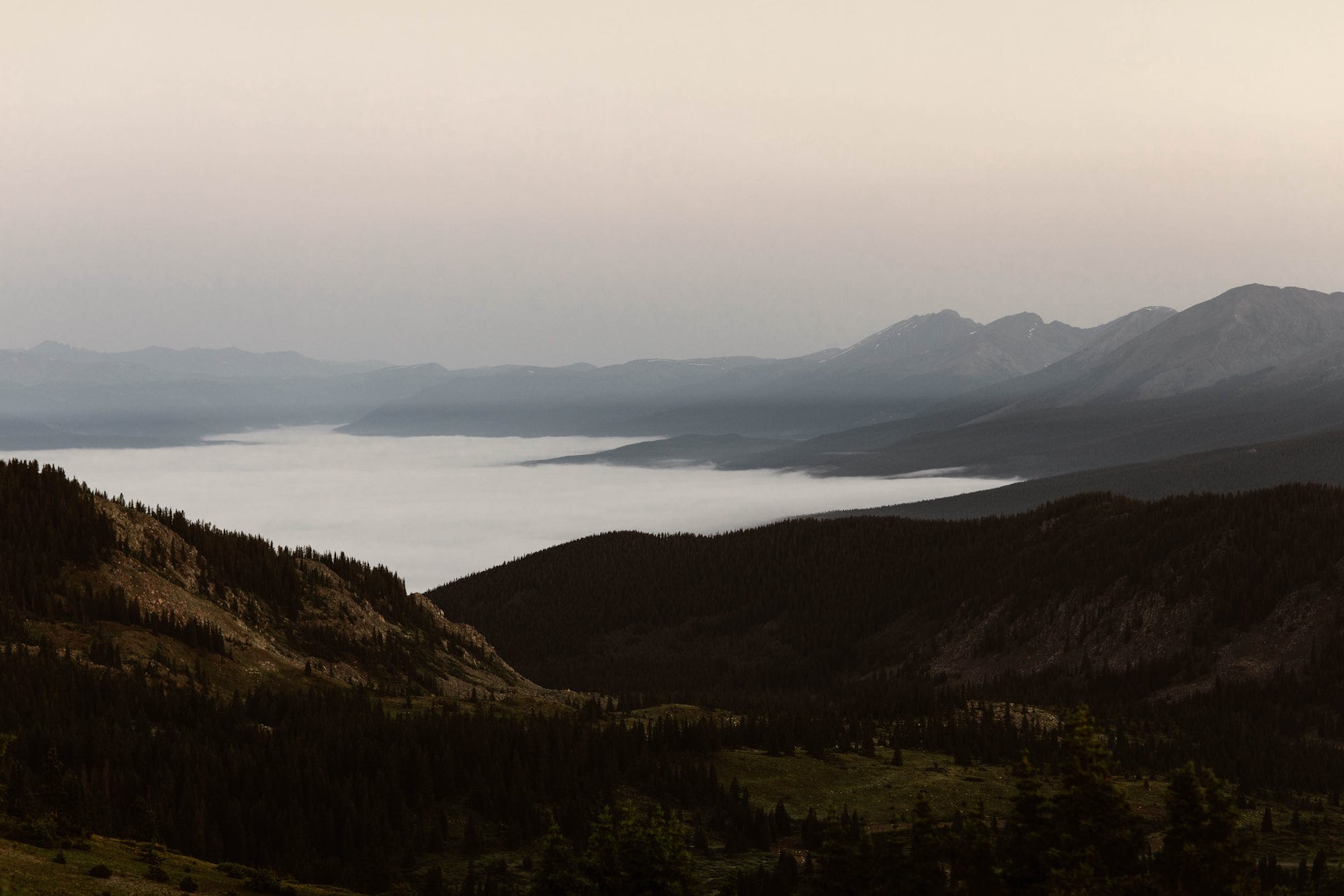
We’re obsessed with its scenic, curving stretches of road and incredible 360 degree mountain views at the summit. And Cottonwood Pass is also home to our favorite campsites and hiking trails in Colorado too.
Not to mention, it’s also perfectly located near some of the best mountain towns in the state.
The Best Way to Experience Cottonwood Pass in Colorado
If you’re planning on spending a couple weeks in Colorado, we highly recommend adding Cottonwood Pass to an epic road trip adventure. And we’ve got you covered with the ultimate road trip itinerary that even includes a few of the towns near Cottonwood.
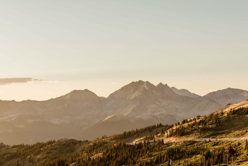
Best Seasons to Drive Cottonwood Pass Colorado
It’s important to note that Cottonwood Pas Colorado is actually closed for most of the year. If you’re planning to drive this route, you’re really looking at the months of June through end of October. That said, within those windows, there are certain seasons and months that are better than others.
While Cottonwood Pass typically opens in very late May, most of the hiking trails will still have a good bit of snow on them, making accessibility quite limited. While May in most parts of the country exhibits warm springtime weather, in the high country of Colorado, it’s still pretty winter-like.
June is typically a big month for melting snow. So that means lots of mud and more mosquitos (yes, even at high elevations!). If you’re planning on driving Cottonwood Pass in June, we highly recommend the end of the month, when things have melted a bit more.
But if we’re being honest, the absolute best month for Cottonwood is July. The alpine tundra has a pretty small window when it’s lush and green, and July is really the peak time. This is also when the wildflowers are at their best. Ideally, mid-July is the time to drive Cottonwood. You may run across some snowfields, but they’re not obstructive in the same way they are in June.
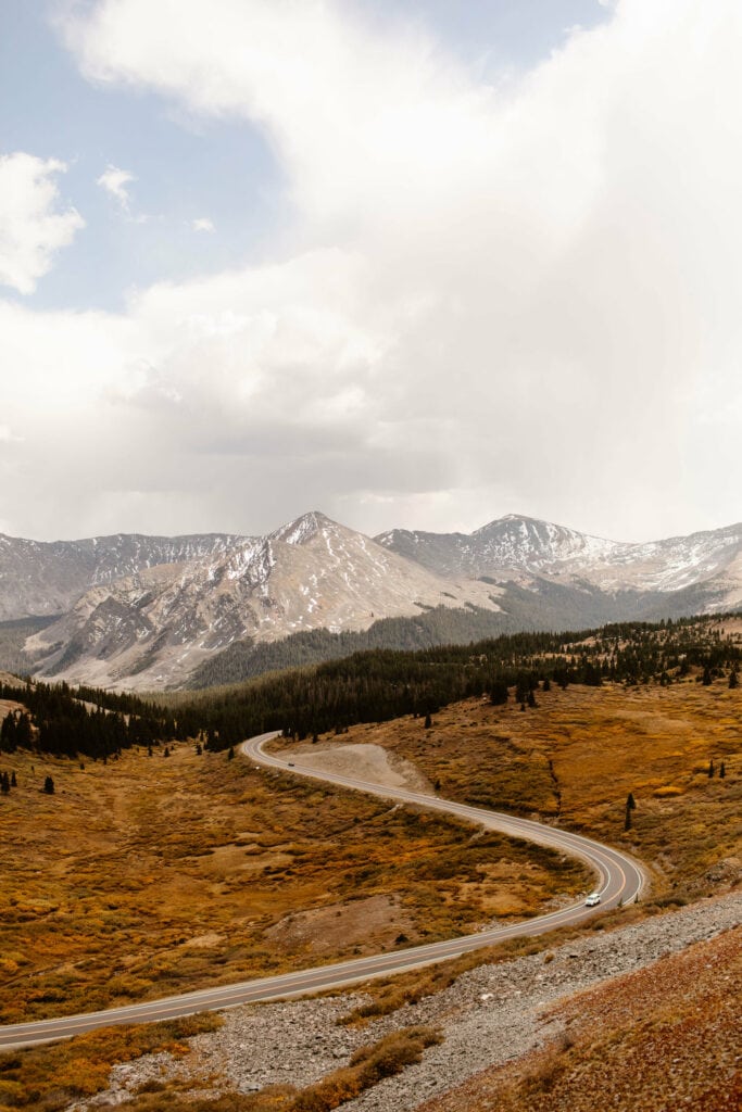
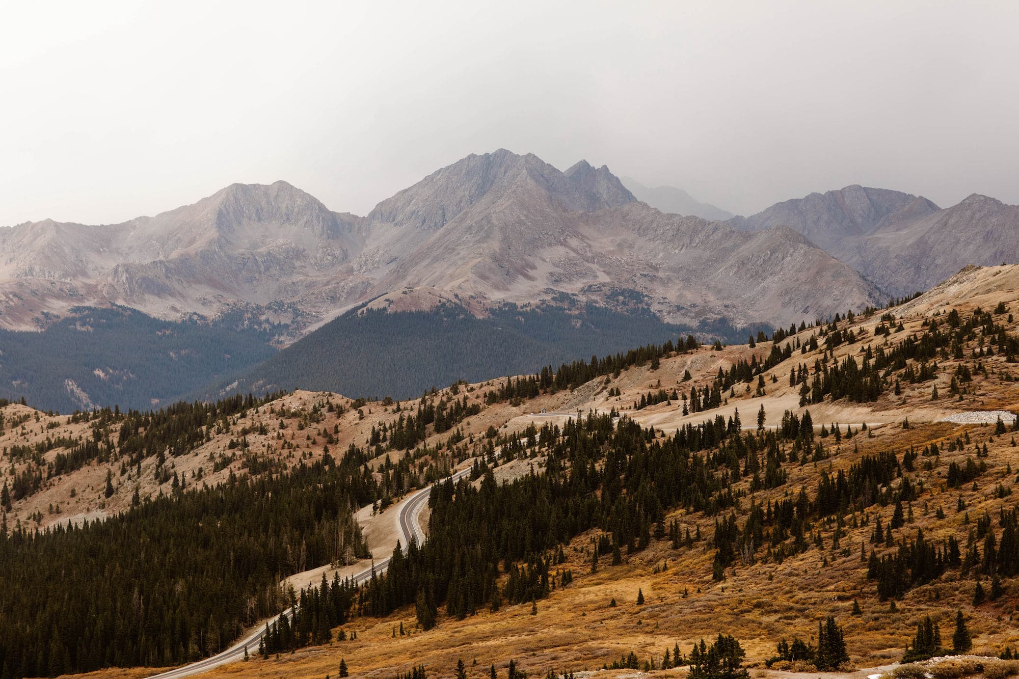
If you want to see fall colors on Cottonwood Pass, we’d recommend aiming for the last week in September (although the specific peak window changes from year-to-year, depending on snow conditions and how dry the summer is).
Fall colors can sometimes stick around into early October, but it’s absolutely no guarantee. And once you get into later October, everything has basically dried out. Given that, we generally don’t recommend driving Cottonwood Pass in October (and this same logic applies to most high elevation mountain passes in Colorado).
What Time of Year Should You Plan Your Trip to Colorado (and Cottonwood Pass)?
Colorado has its good and bad seasons (especially when driving roads like Cottonwood Pass). We’re covering everything you need to know in our guide to the ideal time to visit the Rockies.
Best Places to Stay When Visiting Cottonwood Pass
The Nearest and Most Accessible Towns to Cottonwood Pass
The closest town to Cottonwood Pass is Buena Vista, Colorado. And when it comes to lodging, this is where we’d highly recommend staying. And our #1 choice for hotels (and the one we love staying at) is the Surf Hotel.
How close to Buena Vista, Colorado is Cottonwood Pass? The start of the pass is right outside of town, and the drive to the top is about 30 minutes and about 20 miles.
The next closest town to the summit of Cottonwood Pass is Almont. It’s about 50 minutes of a drive to the top, and about 30 miles.
Lodging is definitely a lot more sparse in Almont, though. That said, if you’re looking for an unforgettable and luxurious experience, nothing beats the Taylor River Lodge (this one’s a great splurge for a honeymoon or anniversary).
While Taylor River Lodge is more of a luxe experience, if you’re looking for something on a tighter budget, Three Rivers Resort has some great cabin options and plenty of family-friendly activities/amenities.
Our Favorite Hotel in All of Buena Vista
Our favorite hotel to stay at when we’re driving Cottonwood Pass is the Surf Hotel & Chateau in Buena Vista, Colorado. It has a stunning view of the Arkansas River, is home to a delicious restaurant and bar, and is located in the best part of BV.
Cottonwood Pass Colorado FAQs
What are the Cottonwood Pass Road Conditions?
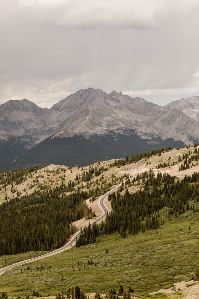
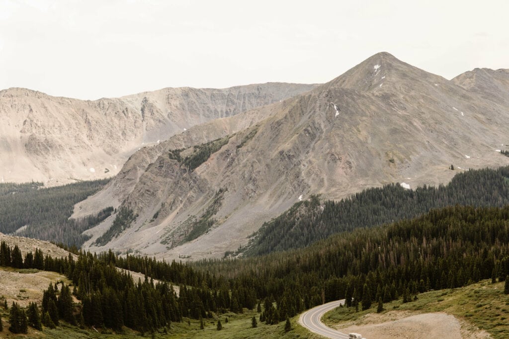
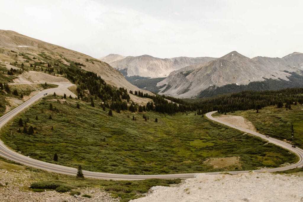
Cottonwood Pass Colorado used to be only partially paved, but as of a few years ago, the entirety of the pass was paved. All of this to say, this is not an off-roading mountain pass, and is accessible to 2WD vehicles and RVs.
That said, it is a winding mountain road with plenty of switchbacks and significant elevation gain, so it’s important to take it slow on the curves in the road (especially in the shoulder season months like May and October when snowstorms are a very real possibility).
If you’re planning on doing the Cottonwood Pass Colorado drive in a vehicle that isn’t AWD or 4WD, and you’re visiting during the shoulder months, we’d highly recommend ensuring you have tire chains with you. Driving Colorado roads like Cottonwood Pass in winter conditions is no joke, especially when visibility is impaired due to snowfall.
Speaking of winter conditions in the shoulder months, we’re big fans of keeping a winter emergency kit handy (yes, even in spring and fall!). You’ll want items like camping and hiking-friendly lightweight emergency blankets with you just in case you get stranded.
When driving Cottonwood Pass Colorado, we always make sure we bring our Garmin inReach, so we can text loved ones and call for help if we need it, even without cell service.
Because much of the pass is a dead zone, we also highly recommend downloading an offline map using Google Maps, so you have your full driving route handy.
How Long Does it Take to Drive Cottonwood Pass?
Given how many curves and switchbacks are on Cottonwood Pass, how long it takes to drive will be highly dependent on the type of vehicle you’re driving. But in a standard sedan or SUV, you can expect to spend about an hour and a half to two hours driving the full length.
That said, that drive time is based on not making stops (or making minimal stops). Which if you ask us, really defeats the purpose of taking the scenic route between Buena Vista and Crested Butte.
We recommend making your drive up Cottonwood Pass Colorado into a full day (or even multi-day, with camping included) adventure.
At the start of Cottonwood Pass, on the Buena Vista, Colorado side, you’ll come across Cottonwood Hot Springs on the right side of the road. It’s located just a few miles outside of town. This is the perfect way to start your drive up Colorado’s Cottonwood Pass.
If you’re looking to tackle a 14er at some point during your drive up the pass, one of the routes to the summit of Mt Yale (14,199 ft) starts at the Denny Creek Trailhead, which is a few miles up the pass from Buena Vista.
And another gorgeous trail along Cottonwood Pass is Ptarmigan Lake Trail. Talk about some seriously stunning alpine views.
And this is just scratching the surface when it comes to hiking trails and sights on Cottonwood Pass. Needless to say, one of the coolest things about this mountain pass is how many outdoors adventures there are. Which is why we recommend taking your time.
Pro Tip: It’s super easy to get sunburned when you’re above tree line, especially at the high elevations you enter when traveling this pass. If there’s one piece of advice we could give you, it’s to ensure you have a solid sunscreen with you when hiking and adventuring in this area.
Our personal favorite brand is this one for our faces (it doesn’t leave a chalky residue and it doesn’t clog pores, which feels like an impossible find these days), and this sweat-resistant one from the same brand for our bodies (our family swears by its ability to avoid gnarly sunburns).
Is Cottonwood Pass in Colorado Paved?
Yes, Cottonwood Pass Colorado is a paved mountain pass. Although that wasn’t the case until 2019. Before then, the side west of the summit was not paved. Today, though, Cottonwood Pass is paved all the way through.
Given its paved status, whenever we drive Cottonwood Pass we always see a variety of cars on the road, including many RVs and campers (this route is home to so many campsites…more on this later!).
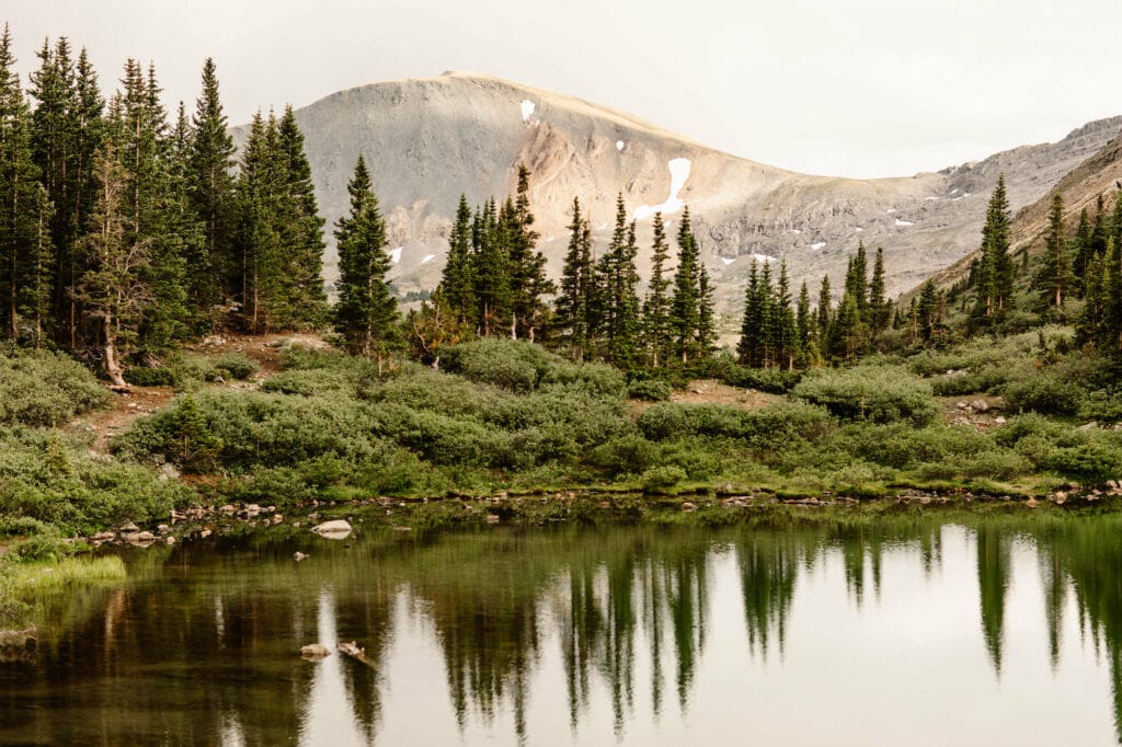
Does Cottonwood Pass Colorado Get Fall Colors?
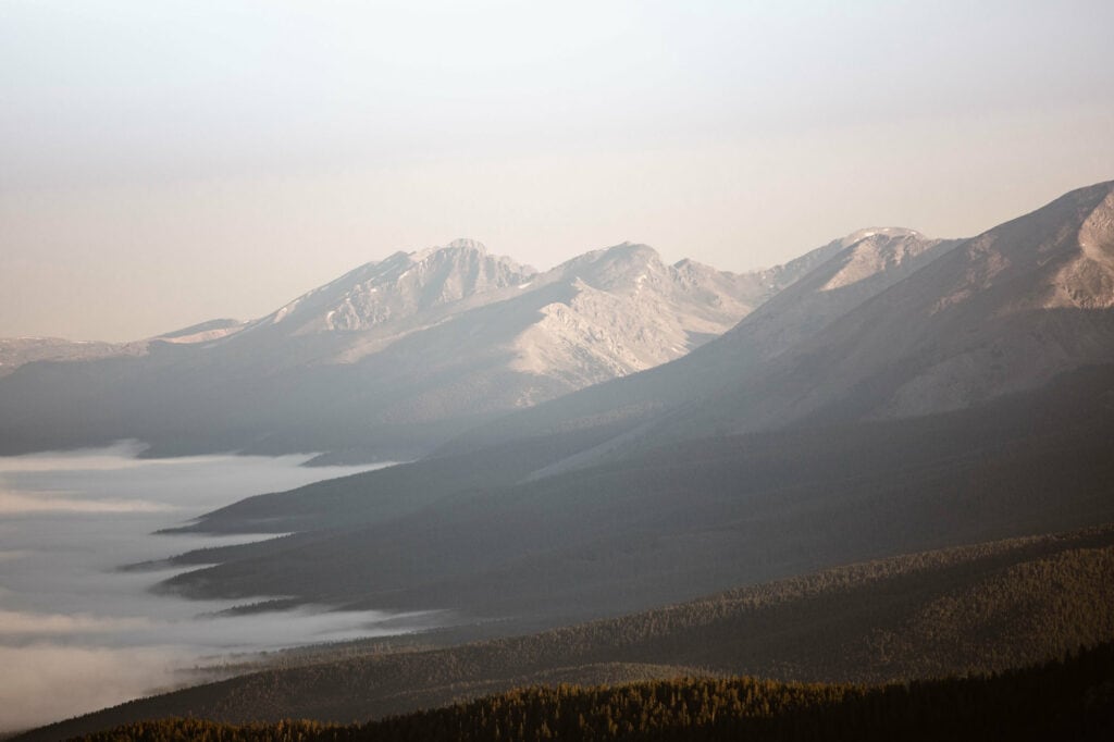
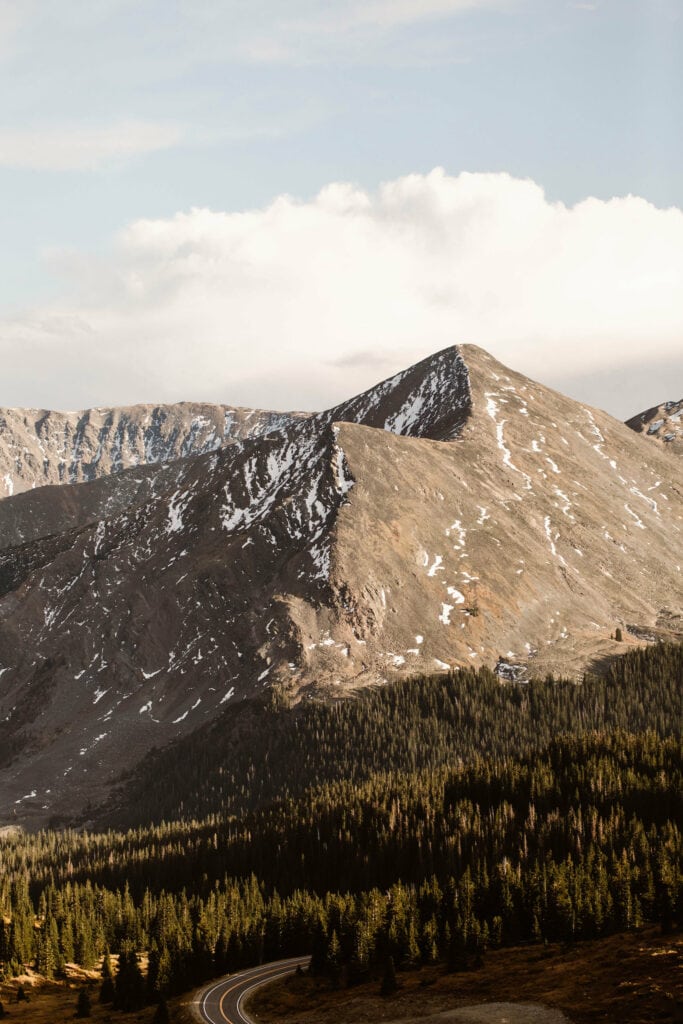
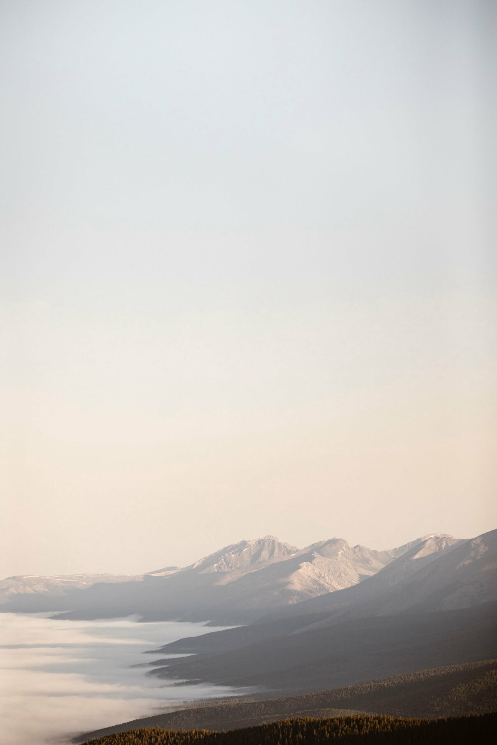
Yes, Cottonwood Pass Colorado does get fall colors, but the best mountain views (the ones at the summit) are so high above the treeline and far away from any aspens that you’re mostly looking at golden alpine shrubbery and tundra (like the photo above).
That said, if you opt to do the full Cottonwood Pass drive in the fall, you will pass by several aspen groves on your way up the Buena Vista side and down the Almont side.
Like we said earlier, Cottonwood Pass Colorado is the scenic route for getting from Buena Vista to Crested Butte, and once you get to CO 135 and start heading north towards CB, you will see some of the prettiest aspen groves the state has to offer. That is one of our favorite drives to do in the fall.
Psst...Planning to See Rocky Mountain National Park While in Colorado?
We live super close to Rocky Mountain NP and have visited the park countless times. From our experienced, we’ve compiled a guide to the must-see spots in the park, perfect for those who are new to the area.
Cottonwood Pass Colorado Camping
Collegiate Peaks Campground - The Best Campsite If You'e Summiting Mt Yale
If you plan on summiting Mt Yale and want to camp on Cottonwood Pass Colorado the night before, the Collegiate Peaks Campground is going to be your closest option.
This campsite has a mixture of first-come-first-served sites and ones you can reserve. There are vault toilets on site, as well as drinking water. And each campsite has a fire ring, picnic table, and grill access.
The season for this campsite starts around the time Cottonwood Pass opens and ends around late September.
Lottis Creek Campground - An Amenity-Rich Campsite On the Almont/Crested Butte Side
If you’re looking to stay on the Almont/Crested Butte side of Cottonwood, Lottis Creek Campground is an amazing choice. It’s only a few miles from Taylor Park Reservoir as well, if you’re interested in boating or fishing.
For a campsite, this spot has several amenities that go above and beyond. You have the usual fire pit and picnic tables. But you also have electricity hookups at some of the sites, too.
The season for this campsite starts in early June and ends around mid-September.
Colorado Dream Ranch RV Park - The Best Campsite for RV Travelers
Like we mentioned earlier, many adventurers like to experience Cottonwood in their RVs. And the pass is quite accommodating in terms of lodging options.
Colorado Dream Ranch RV Park has power and sewer hookups, ATV rentals, a trading post on-site, and a restaurant. Pretty impressive, considering it’s tucked on a mountain pass and not really in a town.
Planning on Exploring More Mountain Passes While in Colorado?
Let’s be honest, Colorado’s mountain passes are seriously world-class. Another favorite of ours is Independence Pass, for many of the same reasons we love Cottonwood Pass.
How to See Cottonwood Pass Colorado At Its Best (And Steer Clear of Crowds)
While Cottonwood Pass certainly isn’t as busy or crowded as some of the more popular mountain routes in Colorado, it can still see its fair share of crowds, particularly on holiday weekends.
For this reason, we generally recommend planning your drive for a weekday if possible. The closer you get to the middle of the week, the better. This also helps a ton if you’re planning to camp along Cottonwood Pass too.
While some campsites on Cottonwood are by reservation, some are first-come-first-served, so weekends are your best bet, especially in a month like July.
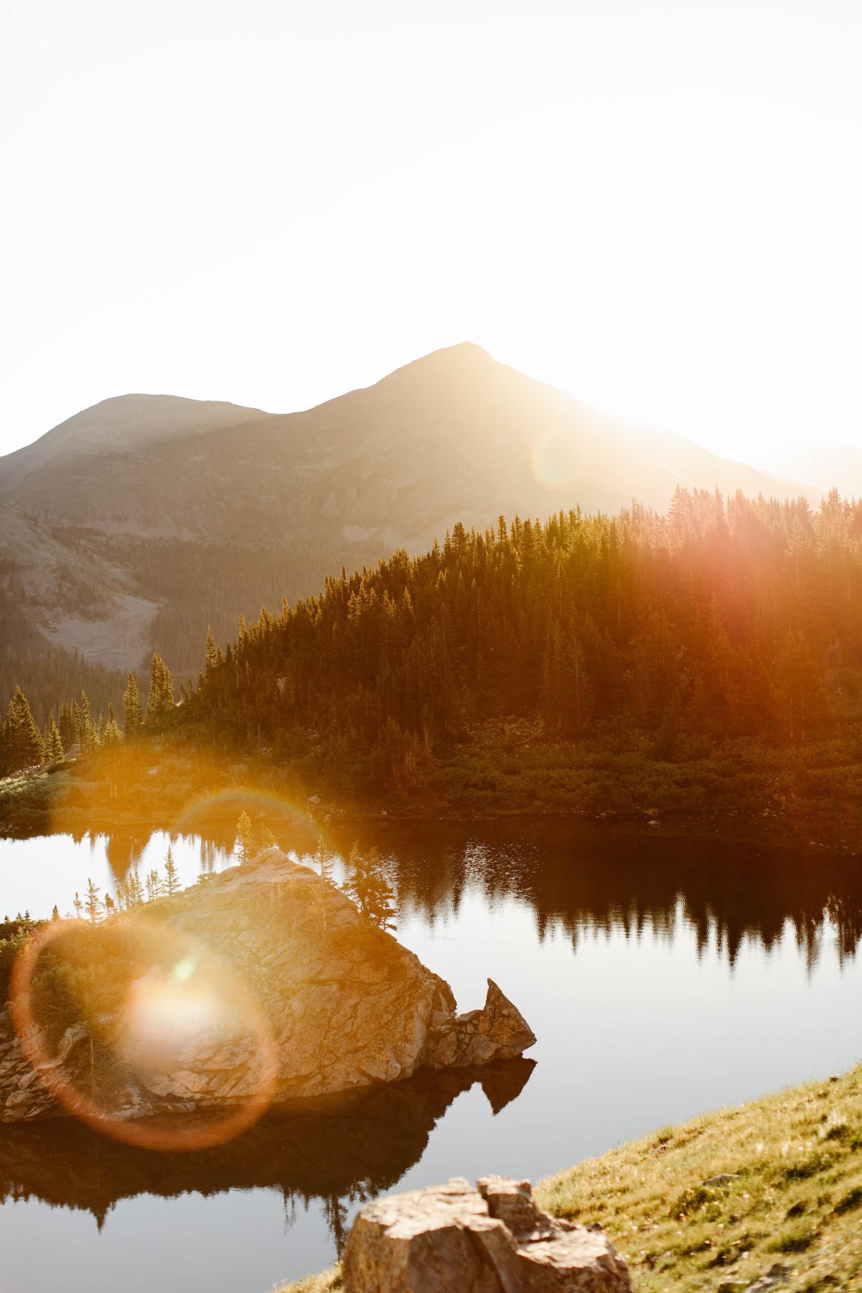
Another pro tip? Start your Cottonwood Pass Colorado adventures early. In fact, if you can get up before sunrise, that’s the best way to ensure you can snag a spot at your favorite trailhead. Also, there’s no denying that the morning light is the prettiest light to see this mountain pass in.
Also, if you plan on summiting a 14’er like Mt. Yale (or if you plan on doing any hike that goes above tree line), you pretty much only want to bank on hiking in the early morning and getting back to your car before the afternoon. Why?
Because high altitude lightning storms are very common during the Colorado summertime, and they are quite literally life-threatening.
So to recap: the best time to drive Cottonwood Pass Colorado is at sunrise in the middle of the week. Not only will you get to admire the Collegiate Peaks in the prettiest golden morning light, but this time of day is the best way to avoid crowds and have as much of the pass to yourselves.
Ready to See the Best Colorado Has to Offer?
Sheena and Ed here! We’re hikers, outdoors advocates, and adventure photographers. And we’re lucky enough to call the Rockies home, which is why we love crafting guides to our favorite places in our great state.
Planning an epic, comprehensive road trip through CO? We’ve created the perfect 2-3 week itinerary.
Narrowing down your travel plans and not sure which mountain villages are best to visit? We’ve curated a collection of our favorite mountain towns in Colorado.
Let’s be honest, not every Colorado season is as good as the next, and you want to plan your travel around the best times of year to be in the Rockies.
Have plans to visit Rocky Mountain National Park? Since we live so close to the park, we visit it all the time. And these are our favorite things to do when we go.
Sheena Shahangian Photography LLC
Empowering You To Have Your Adventure Elopement, Your Way
colorado . washington . oregon . utah . california . wyoming